NENAGH RIVER
Nenagh River or Abhainn Ghaotach - An Ghaothach (The river of Geagh) to give it's Irish name. The River rises on the northern slopes of Knocknasreggan in the Tipperary Mountains around Curreeny and flows north skirting East around Cooneen Hill and creating some torrents at Pol na Nas. It continues North through Falleeny, Loughnane and Templederry. It then turns North through Glenmore before turning West at Tiermoyle. The river flows on through bypassing Kylebeg and Ballinaclough where it is joined by the Dolla River. Meanwhile before this it has an identity crisis and changes it's name to the Annagh River. Leaving Ballynaclough as the Nenagh river once again it heads heads towards Tyone and Lisbunny on the outskirts of Nenagh bypassing the remains of Monasteries, Churches and mills giving voice to how important the river was. The river bypasses a Holy Well at Lisatunny. At this point it is joined by the Clareen Stream which is partially enclosed in Nenagh itself. The Clareen surfaces near the swimming pool and joins the Nenagh River. It flows on past Kyleragh where it is then joined from the west by the Ollatrim River. From here it meanders by St Johns well and Scotts Mill at Ballyvillane. Further roads and bridges cross the river at Ballyanny and Ballyartella where there is a substantial weir. Onwards it flows towards Annaghbeg.
Nenagh River finally enters Lough Derg at Dromineer Bay.
It is worth noting that from the Cooneen Hill Valley onwards are to be found numerous Megalithic sites whether they be Ring barrows, Standing Stones or even ruined Churches many of which appear to drawn to the river as if by magnet and congregate near the river.
Curreeny

Poul-Na-Nas

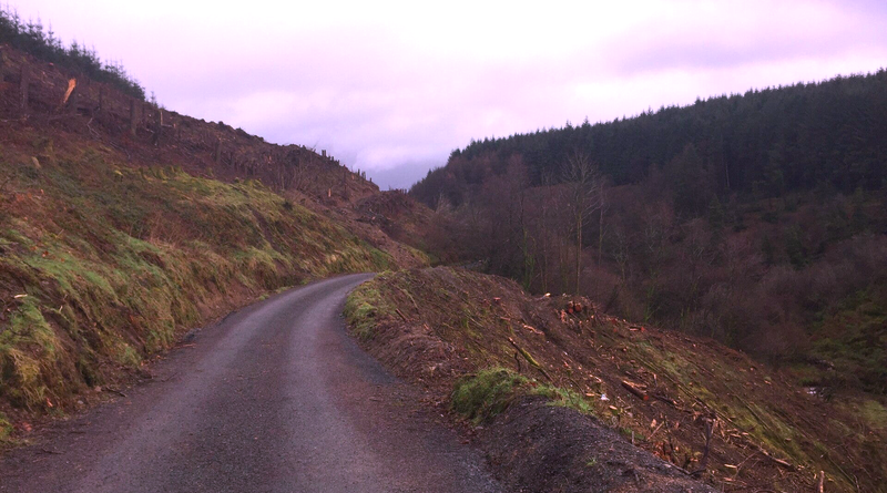


Poul-na-Nas - A Tourist Guides dream - Now the forestry has been cleared you can see the magnificent gorge of Poul-Na-Nas between Cooneen and Templederry with the Nenagh River in full flow

Templederry

Nenagh River at Ballyknock, Templederry

Nenagh River at Cloghinch, Templederry

Kylebeg Upper
Ballinaclough

Tyone

View of Tyone Bridge and Mill built 1830

Postcard of Tyone Bridge and O'Hara's Mills
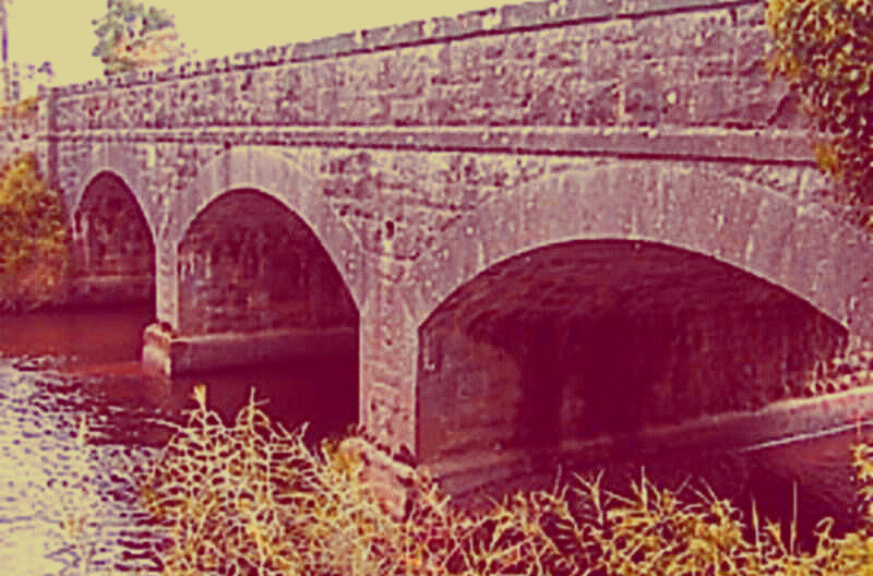

The Clareen Stream


The Clareen Stream is partially enclosed as it flows under Nenagh near the Creamery and Lower Barrack Street it re-surfaces near the swimming pool where it joins with the Nenagh River
Dredging the river

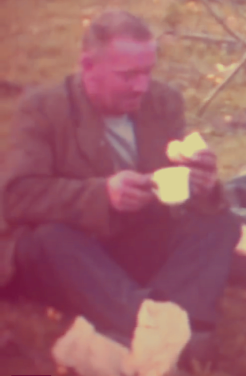
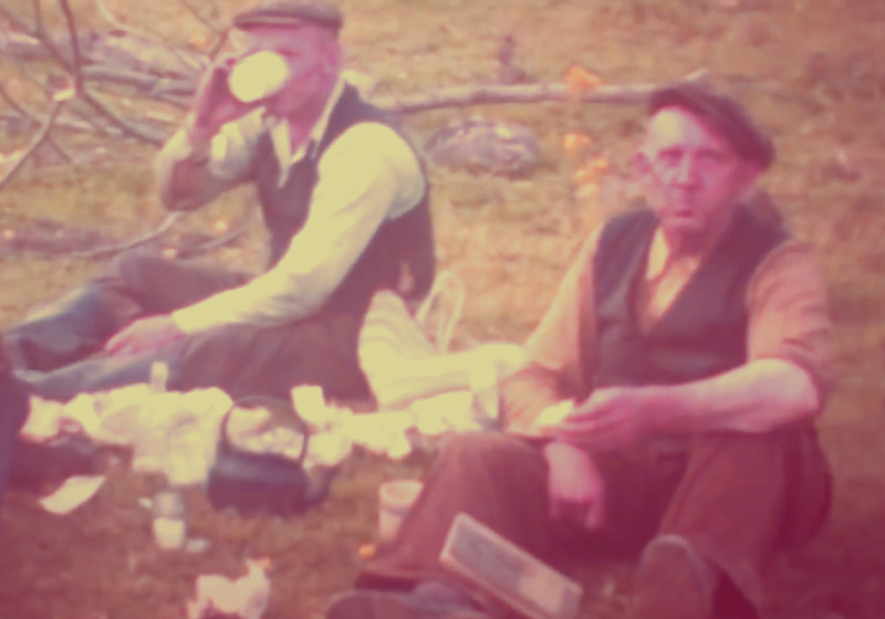

Lunchtime after dredging the river


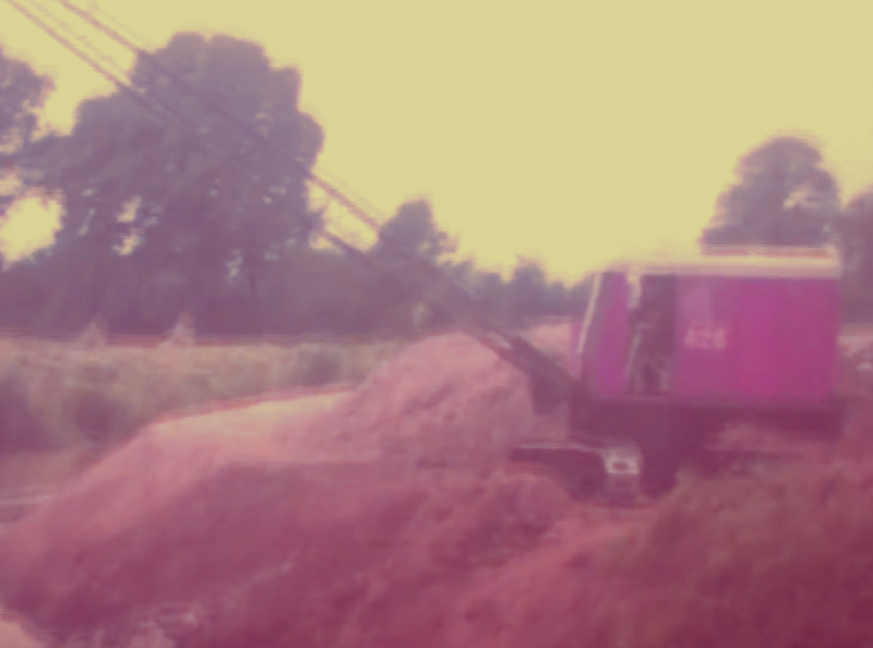


The "improvers" of the 1950's who dredged the river destroying cascades, weirs and other features and turning the river into the semblance of a canal. The stills from a cinefilm made at the time capture some of this great work. Curiously they didn't identify one weir, ford or crossing place and all were destroyed by machine leaving only the memories alluded to in histories. The spoil heaps were heaped on the banks and can still be seen. One wonders how much of Bennets Flowery Vale ended up thus. To add insult to injury the towns sewage farm was built at Kyleragh and the treated effluent discharged into the river from there.
Kyleragh Bridge
(....the wood at the junction of the rivers)


The confluence of Ollatrim and Nenagh Rivers or "The Meetings". The Ollatrim rises near the Devils bit and flows down through Ballymackey and Rathurles

The Fox Burrow Pool - much loved by fishermen. You always had to walk quietly if passing by here

Scotts Bridge & St Johns Well (Ballyvillane)
The rebuilding of an earlier bridge and built around 1725, Scotts Bridge is comprised of two central arches flanked by two lower segmental arches. It is now disused having been replaced by a newer bridge and straighter road to the side. Just off it, St John's Well was always a place of pilgrimage and a frequent venue for Sunday afternoon outings

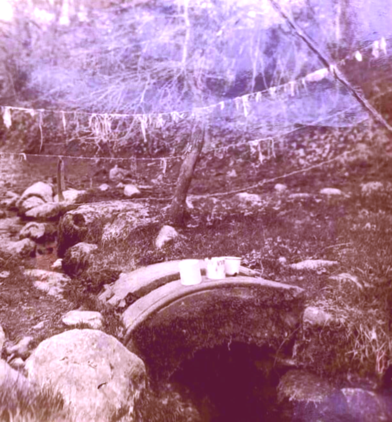
St John the Baptist's well with votive offerings hanging from string, sadly a practice that had disappeared when I was growing up. However you would find the odd St Christopher or BVM medal in the well water. The Pattern day is June 24th. Not to be confused with St John the Evangelist whose feast day is 27th of December.

The one-armed statue of St John presiding over the well

Two repurposed arches used as hand holds. There used to be an enamel mug on a chain for drinking the water but that has since disappeared. The water outflows to the side towards the nearby river

The original bridge. Nenagh has two such disused bridges. One at Dublin Road and this one at Scotts


The replacement bridge, functional and lacking in elegance of it's predecessor
Ballyanny
Ballyanny, the place of the Fair, according to folklore once known as Hughs Town, there used to be a village here but this has long since disappeared. There are still the ruins of a sizeable mill to be found on the banks of the river. There was a plan mooted in 2004 to convert the ruins to apartments but it was refused permission.


A gap in the Wall to facilitate pedestrians and to keep cattle inside the field. This arrow points the way to the Sli Eala River walk.

Ballyartella - (Baile Uí Artaíle) - (Balyartely, Balliartile)
Another old bridge, another Mill and the remains of a Tower House, Ballyartella offers many photo opportunities.
Logainm.ie has its name deriving from a South Leinster family of O'Hartleys, thus Hartleys Town or Baile Ui Artaile. This was before the Norman invasion although any Nenagh man would pose the question what were Wexford men doing in North Tipperary?


Here at a glance we can see the effects of the Famine on the local population. If you compare the Persons column for 1841 with that of 1881 we can see a drastic drop in population. Thus Ballyartella had 137 people in 1841 and had fallen to 31 persons by 1881

Ballyartella Bridge, built circa 1720 by local craftsmen. Cutwaters clearly visible to break the force of the water. The bridge also incorporates triangular pedestrian refuges inset in the stonework

Pedestrian refuges clearly visible on the bridge


The Weir and a magnet to those who want to see first hand the power and force of water at work.


The river in flood. Notice how high the level is under the arches of the bridge compared with the picture above

Needless to say, fishing is prohibited between the Bridge and the Weir


Close-ups of the fascinating colonies of Lichen that have made their home on the rusty ironwork of the weir
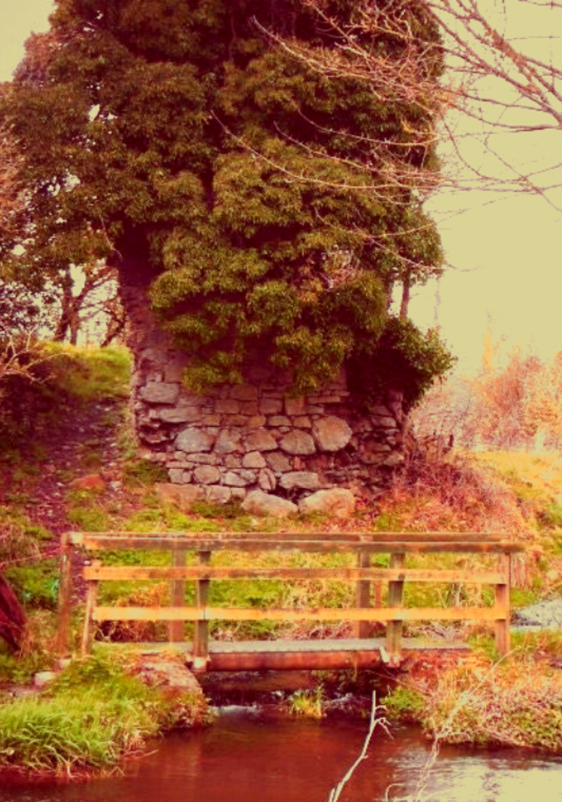
The sparse remains of a Tower House, once owned by the Countess of Ormond. It is held together by the ivy that has colonised it
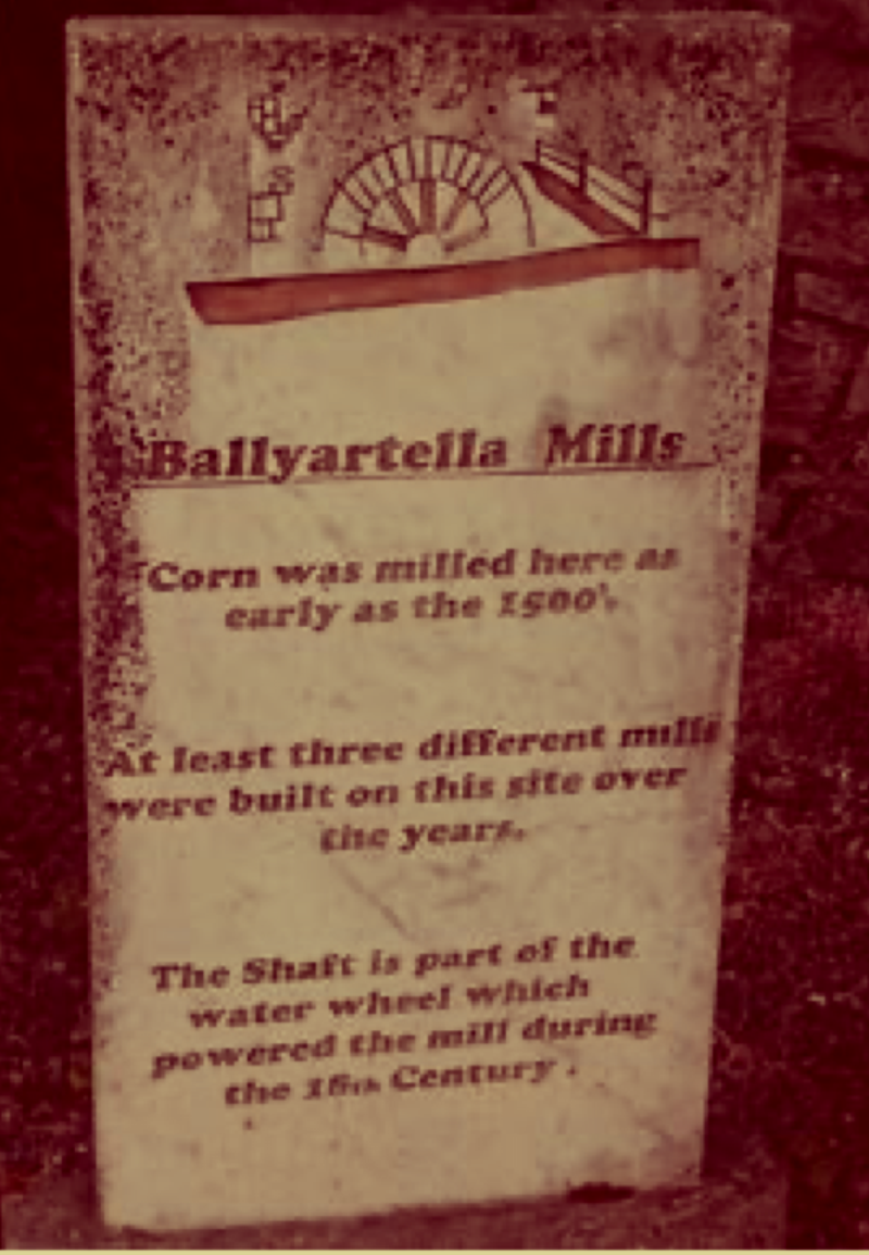
Hanleys Woollen Mills are the mills present incumbents having been founded in 1893

Commemorative chair on the other side of the Bridge


Hanlys Mills before the house and Mill were destroyed in the disastrous fire of 1952. Originally a disused flour mill, Denis Hanly set up a woollen mill on the premises in 1893. Here the local fleeces were carded, spun and woven. After the fire Hanlys concentrated solely on weaving producing high quality and heirloom worthy products. (Pics: Hanlys Mills)
Annaghbeg


This bridge of seven arches was built around 1750 from rubble limestone. Its a testament to the workmanship that it still stands today

Nearby stands the ruins of Annagh castle which was once the home of Sir Phillip Percival. The ruins of this Kennedy Castle stands stark against the skyline dominating the surrounding countryside. It has it's own resident ghost in the presence of former resident Edmund Ruadh O'Kennedy who was brutally murdered by his enemies. Unfortunately he hadn't told anyone where he had hidden his treasure so legend has it he is to be found wandering the ruins, his face a grotesque mask with his wounds gaping open, protecting his lost treasure

Muskrat

Muskrat (Ondatra Zibethica), a native rodent of Lakes streams and marshes of North America was introduced to Nenagh in 1929 with the intention of farming the animals for their fur pelts. The fur which was also referred to as Hudson Seal was highly prized in the Furrier trade. It is used in some instances for Royal Canadian Mounted Police winter hats.
A breeding pair was imported from England having originated in Malachi, Ontario. After a fortnight in their new quarters at a breeding farm in Annaghbeg the pair escaped by gnawing through wire mesh. Nothing was heard of them until February 1933 when a pair of Muskrat were shot at Dromineer. It is estimated they had infested an area of 160 square miles.
The Muskrat had spread as far north as Cloughjordan and as far west as the Curraghkeens and County Clare across the lake. A female and a nest of seven being found on the Clare side of Lough Derg. Both Whitegate and Mountshannon were compromised.
There was a concern that their presence in the waterways might affect the newly constructed hydroelectric dam and station at Ardnacrusha. Left to their own devices Muskrats can remove plant species in order to create suitable habitats for their favourite foods. They create feeding platforms on rivers which have the potential to dam the river. They also dig out extensive networks of burrows which result in the destabilisation and undermining of the riverbanks.
To combat this infestation a new law was introduced in 1933, namely The Musk Rat Act. Extermination of the species was put in place from September of that year. A recorded 59 Muskrat were disposed of in that first month. This eradication would peak at 117 in October 1933 gradually reducing to one in May of 1934
The last Muskrat was trapped on the 6th of May 1934 and the threat to the local wildlife and countryside removed. A total of 487 animals were exterminated. A stuffed reminder of the species which was killed on the Nenagh River is to be found in a glass case in the Natural History Museum in Dublin.

ON THE NENAGH RIVER - NORMAN J McCRAIG


Create Your Own Website With Webador